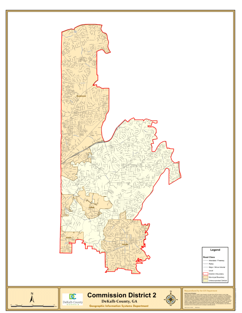
District 2 Map
Your District 2 office is excited to present our very first project map showing many recent projects funded or under way in your area. This is an interactive Graphic Information System (“GIS”) map which is a product of DeKalb’s award-winning GIS Department in collaboration with your D2 program office. If you open it in your browser you can enlarge it and zoom in on areas of interest and click on project dots (color coded by type) to see a small data set describing the project. Please note, this is a work in progress and will get better over time. If you believe a project is missing you know happened in your area, please let us know and provide its address and type (traffic calming, park, trail, etc.) and we will verify the facts about the project and publish it on an update. In many cases, we are still tracking down the full cost of a project (like Pendergrast Park which cost way more than the last “change order” amount of $20,000!) and will add more complete information when available.
Also note we have only included projects going back the last couple of years (during and after COVID) but may add more data to capture projects going back a bit further, and we may add infrastructure expenditure (like water and sewer line improvement projects) to give a fuller picture of how capital funds are being invested in your area. We have also included Georgia Department of Transportation (GDOT) projects which are of particular interest to D2 residents including traffic calming, sidewalk, bridge replacement and other state funded projects that often have originated through DeKalb government and citizen interaction with GDOT.
Our next version will show you a running total of project dollars being spent in total and by type. Please let us know how you like the new map and what changes you might recommend to make it even better.

